Books on automation, big data, building information modelling (BIM), geoinformation, geographic information systems (GIS), interactive architecture, robotics.
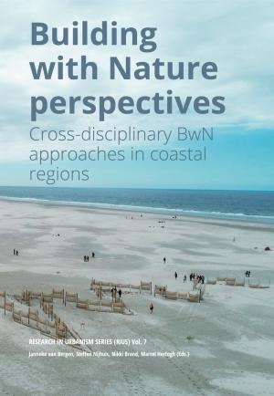
This publication offers an overview of the latest cross-disciplinary developments in the field of Building with Nature (BwN) for the protection of coastal regions. The key philosophy of BwN is the employment of natural processes to serve societal goals, such as flood safety. The starting point is a systems-based approach, making interventions that employ the shaping forces of the natural system to perform measures by self-regulation. Initial pilots of this innovative approach originate...
This sector portrait of the design engineering sciences describes the common denominator of the various design disciplines in the Netherlands. In a future sector plan, the above investment areas will be further explored and purposefully developed.
The implementation of technological innovations aligned to societal issues encompasses a design challenge. This increasingly demands science-based design methodologies. The broad Dutch design landscape can fulfil the role of connector...
Ena Voûte (ed), Frank van der Hoeven (ed), Paul Hekkert (ed), Martijn Warnier (ed), Hans Suijkerbuijk (ed), LinLin Chen (ed), Berry Eggen (ed), Jacob Voorthuis (ed), Geert Jan van Houtum (ed), Mascha van der Voort (ed), Geke Ludden (ed), Erwin Hans (ed), Leentje Volker (ed), Karin Schroen (ed), Sanda Lenzholzer (ed), Katrien Termeer (ed), Wilfred Dolfsma (ed), Iris Vis (ed), Cor Wagenaar (ed), Jos Arts (ed), Dario Bauso (ed), Terry van Dijk (ed), Annet Kempenaar (ed), Gerald Jonker (ed)
The research of TU Delft’s Faculty of Architecture and the Built Environment (Faculteit Bouwkunde) covers the full spectrum of design, engineering, planning, and management of the built environment. Its research portfolio comprises the research that is conducted by four departments:
The ROCK project sees historic city centres as laboratories to demonstrate how Cultural Heritage can be an engine of regeneration, sustainable development and economic growth. ROCK approach foresees the systemic and flexible application of a series of role-model practices in the testing sites of three Replicator cities, to turn historic city centres afflicted by physical decay, social conflicts and poor life quality into Creative and Sustainable Districts. This...
Giovanni Leoni (ed), Andrea Boeri (ed), Danila Longo (ed), Valentina Gianfrate (ed), Martina Massari (ed), Saveria Olga Murielle Boulanger (ed), Rossella Roversi (ed)
This volume is the editorial product of the project “Gentrification and Crime. New Configurations and Challenges for the City” started by a public conference held on May 6, 2019 at the Municipal Historical Archive of Palermo. This event was organized by Locus and endorsed by private and public bodies. During the conference, four presentations were given by distinguished academics of main fields investigated: Giovanni Semi, Marco Picone, Adam...
Giovanni Semi, Antonio La Spina, Mario Mirabile, Edoardo Cabras (Volume editor); Massimo Bonura, Alessio Arena, Carmelo Cattafi, Cecilia Bighelli, Dimitrios Panagiotakopoulos (Chapter Author)
Residential buildings account for a significant amount of the national energy consumption of all OECD countries and consequently the EU and the Netherlands. Therefore, the national targets for CO2 reduction should include provisions for a more energy efficient building stock for all EU member states.
National and European level policies the past decades have improved the quality of the building stock by setting stricter standards on the external envelope of newly made buildings,...
With the aim to limit the number of ineffective designs, this dissertation has investigated the impact of architectural design strategies on improving the energy performance of and thermal comfort in high-rise office buildings in temperate, sub-tropical and tropical climates. As the starting-point of this research, a comparative study between twelve high-rise office buildings in three climate groups was conducted. For each climate group, three sustainable high-rises were...
While agglomerations along the Rhine are confronted with the uncertainties of an increasing flood risk due to climate change, different programs are claiming urban river front sites. Simultaneously, urban development, flood management, as well as navigation and environmental protection are negotiating the border between the river and the urban realm. This produces complex spatial constellations between the river system and the urban realm with a diverse set of interdependencies, where...
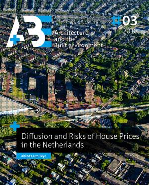
The rate of home-ownership has increased significantly in many countries over the past decades. One motivating factor for this increase has been the creation of wealth through the accumulation of housing equity, which also forms the basic tenet of the asset-based welfare system.
In generating the home equity, house price developments play an important role. Generally, house prices show an increasing trend over long time period, however, there are short-term negative appreciations...
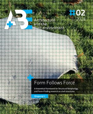
The springing up of freeform architecture and structures introduces many challenges to structural engineers. The main challenge is to generate structural forms with high structural efficiency subject to the architectural space constraints during the conceptual structural design process.
Structural Morphology is the study of the relation between form and force, which can be considered the guiding theory for this challenge. The relation between form and force is important for all...
As a result of the large amounts of CO2 emissions the built environment produces, it contributes immensely to climate change. Within the strategies developed to reduce anthropogenic CO2 emissions, getting buildings to an energy-neutral level is one of the main priorities. The blueprint for this altered energy-efficient building now seems to be ready: the heavily insulated outer shells of buildings have decreased the demand for energy and the necessary coolness and warmth are induced using...
Nowadays, there are many geo-information data sources available such as maps on the Internet, in-car navigation devices and mobile apps. All datasets used in these applications are the same in principle, and face the same issues, namely:
Maps of different scales are stored separately. With many separate fixed levels, a lot of information is the same, but still needs to be included, which leads to duplication.
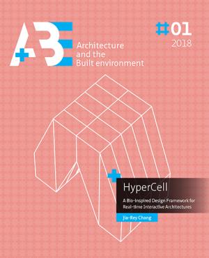
This pioneering research focuses on Biomimetic Interactive Architecture using “Computation”, “Embodiment”, and “Biology” to generate an intimate embodied convergence to propose a novel rule-based design framework for creating organic architectures composed of swarm-based intelligent components. Furthermore, the research boldly claims that Interactive Architecture should emerge as the next truly Organic Architecture. As the world and...
The urban planner´s role should be adapted to the current globalised and overspecialised economic and environmental context, envisioning a balance at the regional scale, apprehending not only new technologies, but also new mapping principles, that allow obtaining multidisciplinary integral overviews since the preliminary stages of the design process. The urban heat Island (UHI) is one of the main phenomena affecting the urban climate. In the Netherlands, during the heat wave of 2006, more...
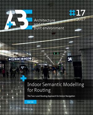
Humans perform many activities indoors and they show a growing need for indoor navigation, especially in unfamiliar buildings such as airports, museums and hospitals. Complexity of such buildings poses many challenges for building managers and visitors. Indoor navigation services play an important role in supporting these indoor activities. Indoor navigation covers extensive topics such as: 1) indoor positioning and localization; 2) indoor space representation for navigation model...
If data are the building blocks to generate information needed to acquire knowledge and understanding, then geodata, i.e. data with a geographic component (geodata), are the building blocks for information vital for decision-making at all levels of government, for companies and for citizens. Governments collect geodata and create, develop and use geo-information - also referred to as spatial information - to carry out public tasks as almost all decision-making involves a geographic...
Most Western national governments aim to influence individual travel patterns — at least to some degree — through the spatial planning of residential areas. Nevertheless, the extent to which the characteristics of the built environment influence travel behaviour remains the subject of debate among travel behaviour researchers. This work addresses the role of residential-self-selection, an important issue within this debate. Households may not only adjust their travel behaviour to the built...
This dissertation reports a PhD research on mathematical-computational models, methods, and techniques for analysis, synthesis, and evaluation of spatial configurations in architecture and urban design. Spatial configuration is a technical term that refers to the particular way in which a set of spaces are connected to one another as a network. Spatial configuration affects safety, security, and efficiency of functioning of complex buildings by facilitating certain patterns of movement...
Using engineering performance evaluations to explore design alternatives during the conceptual phase of architectural design helps to understand the relationships between form and performance; and is crucial for developing well-performing final designs. Computer aided conceptual design has the potential to aid the design team in discovering and highlighting these relationships; especially by means of procedural and parametric geometry to support the generation of geometric design, and...
Amsterwarm biedt met de ontwikkeling van een gebiedstypologie inzicht in het stedelijk warmte-eiland effect in de stad Amsterdam.
De typologie maakt duidelijk in hoeverre de stad Amsterdam zelf bijdraagt aan het stedelijk warmte-eiland effect, in hoeverre buurten en woningen hun bewoners blootstellen aan het warmte-eiland effect, en in hoeverre de bewoners van de stad kwetsbaar zijn voor de gevolgen ervan.
De typologie is gebaseerd op het ruimtegebruik fysieke...
An understanding of cities as open systems whose agents act on them simultaneously from below and above, influencing urban processes by their interaction with them and with each other, is replacing the simplistic debate on urban participation which asks whether cities should be organized bottom-up or top-down. This conceptualization of cities as complex systems calls for new collaborative city-making methods: a combination of collaborative planning (which already embraces various agencies...
This publication provides an overview of TU Delft’s and Berlage’s most significant research achievements in the field of architecture and the built environment, produced over the years 2003—2009. The publication is produced in preparation for the Dutch 2010 research assessment exercise Architecture and the Built Environment.
It is the first joint publication by Architecture, OTB and Berlage and hints clearly at stronger future ties between the three institutes, which are...
The research reported in this dissertation contains three complementary and overlapping parts:
One, “findings”: It assesses the factors of urban morphology that contribute to increased rates of greenhouse gas emissions per capita, and the ways they interact. It finds a significant but underrepresented set of factors, distinct from but relating the factors at the individual building scale and the scale of regional transportation systems.
Navigation services have gained much importance for all kinds of human activities ranging from tourist navigation to support of rescue teams in disaster management. However, despite the considerable amount of route guidance research that has been performed, many issues that are related to navigation for first responders still need to be addressed.
During disasters, emergencies can result in different types of moving obstacles (e.g., fires, plumes, floods), which make some parts of...
This publication provides an overview of TU Delft’s most significant research achievements in the field of architecture and the built environment during the years 2010—2012. It is the first presentation of the joint research portfolio of the Faculty of Architecture and OTB Research Institute since their integration into the Faculty of Architecture and the Built Environment. As such the portfolio holds a strong promise for the future. In a time when the economy seems to be finally picking...
Landscape design research is important for cultivating spatial intelligence in landscape architecture. This study explores GIS (geographic information systems) as a tool for landscape design research - investigating landscape designs to understand them as architectonic compositions (architectonic plan analysis). The concept ‘composition’ refers to a conceivable arrangement, an architectural expression of a mental construct that is legible and open to interpretation. Landscape architectonic...
Tracking technologies such as GPS, mobile phone tracking, video and RFID monitoring are rapidly becoming part of daily life. Technological progress offers huge possibilities for studying human activity patterns in time and space in new ways. Delft University of Technology (TU Delft) held an international expert meeting in early 2007 to investigate the current and future possibilities and limitations of the application of tracking technologies in urban design and spatial planning. This book...
Frank van der Hoeven, Stefan van der Spek, Jeroen van Schaick (Volume editor)
Geo-Design. Advances in bridging geo-information technology and design brings together a wide variety of contributions from authors with backgrounds in urban planning, landscape architecture, education and geo-information technology presenting the latest insights and applications of geodesign. Geo-Design is here understood as a hybridization of the concepts “Geo” — representing the modelling, analytical and visualisation capacities of GIS, and “Design” — representing spatial planning and...
Steffen Nijhuis, Sisi Zlatanova, Eduardo Dias, Frank van der Hoeven, Stefan van der Spek (Volume editor)
Exploring the Visual Landscape is about the combination of landscape research and planning, visual perception and Geographic Information Science. It showcases possible ways of getting a grip on themes like: landscape openness, cluttering of the rural landscape, high-rise buildings in relation to cityscape, historic landscapes and motorway panoramas. It offers clues for visual landscape assessment of spaces in cities, parks and rural areas. In that respect, it extends the long tradition in...
Frank van der Hoeven, Steffen Nijhuis, Ron van Lammeren (Volume editor)
The concept of level of detail (LOD) describes the content of 3D city models, and it plays an essential role during their life cycle. On the one hand it comes akin to the concepts of scale in cartography and LOD in computer graphics, on the other hand, it is a standalone concept that requires attention. LOD influences tendering and acquisition, and it has a hand in storage, maintenance, and application aspects. However, it has not been significantly researched, and this PhD thesis fills...
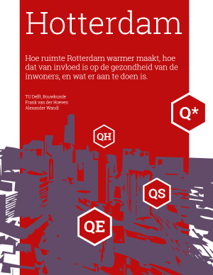
Heat waves will occur in Rotterdam with greater frequency in the future. Those affected most will be the elderly — a group that is growing in size. In the light of the Paris heat wave of August 2003 and the one in Rotterdam in July 2006, mortality rates among the elderly in particular are likely to rise in the summer.
Method
The aim of the Hotterdam research project was to gain a better understanding of urban heat. The heat was measured and the surface...
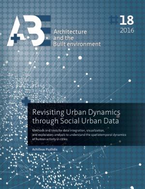
Enhancing our knowledge of the complexities of cities in order to empower ourselves to make more informed decisions has always been a challenge for urban research. Recent developments in large-scale computing, together with the new techniques and automated tools for data collection and analysis are opening up promising opportunities for addressing this problem. The main motivation that served as the driving force behind this research is how these developments may contribute to urban data...
Supply Chain Management (SCM) and Building Information Modelling (BIM) are seen as innovations that can manage complexities in construction by focusing on integrating processes and products respectively. Whereas these two innovations have been considered compatible, their practical combi-nation has been mainly anecdotal. The Netherlands was the locale of this study, where both SCM and BIM have been popular approaches. The research objective is to explore their real-world...
The construction industry is a project-based sector with a myriad of actors such as architects, construction companies, consultants, producers of building materials (Anumba et al., 2005). The interaction between the project partners is often quite limited, which leads to insufficient knowledge sharing during the project and knowledge being unavailable for reuse (Fruchter et al. 2002). The result can be a considerable amount of extra work, delays and cost overruns. Design outcomes that are...
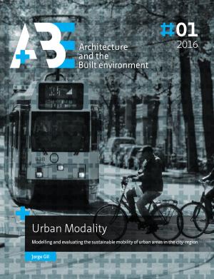
This thesis proposes a framework for evaluating the mobility potential and performance of urban areas in the city region, as an instrument to support urban development that contributes positively to regional sustainable mobility objectives. The research takes a quantitative approach, modelling and measuring the characteristics of a city-region and of its individual urban areas, in terms of travel patterns and socioeconomic characteristics of the resident population, and in terms of built...
The study of dynamic spatial and social phenomena in cities has evolved rapidly in the recent years, yielding new insights into urban dynamics. This evolution is strongly related to the emergence of new sources of data for cities (e.g. sensors, mobile phones, online social media etc.), which have potential to capture dimensions of social and geographic systems that are difficult to detect in traditional urban data (e.g. census data). However, as the available sources increase in...
Potentials of a virtual environment for enhancing the creativity of architects have shaped this research. There is no singular definition of creativity. In fact, there are more than 100 different definitions of creativity according to different contexts and disciplines. Nevertheless, it is possible to confine the boundaries of definitions and address creativity within a confined framework.
The first practical step was thus to perform an in-depth...
Over the years 2010-2015 TU Delft's Faculty of Architecture and the Built Environment (in Dutch: Bouwkunde or BK) made good progress with its research by:
merging the Architecture faculty and the Built Environment research institute;
streamlining its PhD research by setting-up a graduate school for doctoral education;
co-founding an institute for metropolitan solutions in Amsterdam together with MIT and Wageningen University (targeted yearly budget: 25...